Good morning from Southern Connecticut Weather!
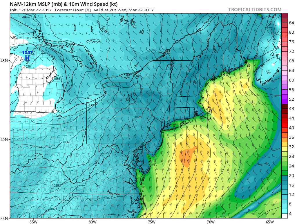
Hope you enjoyed the relatively mild temperatures to start the spring, because, once again, we go back into the freezer. For today, cold returns with a vengeance. Temps throughout the day will continue to plummet through the 30s on a very strong northwest wind, gusting at times to over 50 mph. In fact there are wind advisories in effect throughout the state until 6 pm this evening. Along with the strong winds, there could be some stray flurries or snow squalls, especially in western and northwestern Connecticut. Other than those occasional snow showers, skies will remain mostly clear through this evening. For tonight, winds begin to subside, and skies remain clear, making for perfect conditions for radiational cooling allowing for temps to drop into the teens statewide, with some areas in northern and northwestern Connecticut dropping back into the single digits.
Hope you enjoyed the relatively mild temperatures to start the spring, because, once again, we go back into the freezer. For today, cold returns with a vengeance. Temps throughout the day will continue to plummet through the 30s on a very strong northwest wind, gusting at times to over 50 mph. In fact there are wind advisories in effect throughout the state until 6 pm this evening. Along with the strong winds, there could be some stray flurries or snow squalls, especially in western and northwestern Connecticut. Other than those occasional snow showers, skies will remain mostly clear through this evening. For tonight, winds begin to subside, and skies remain clear, making for perfect conditions for radiational cooling allowing for temps to drop into the teens statewide, with some areas in northern and northwestern Connecticut dropping back into the single digits.
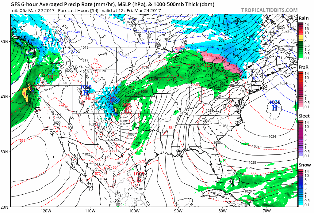
For Thursday, skies remain mostly clear early with very cold conditions, and temperatures still in the mid to upper teens statewide. This is exceptional cold. These are temperatures 15-20 degrees below average. So make sure to bundle the kids up as they head to the bus stop. As we head through the day on Thursday, highs recover, but well below average temps will be experienced across the state. Temperatures on Thursday afternoon will be in the mid to upper 30s statewide, feeling more like mid-January than late March. Thursday night looks to remain clear with temperatures not nearly as cold as the night before. Mid to upper 20s at the shore, and low to mid 20s inland for lows. Heading in to Friday morning, temperatures will stay steady in the mid to upper twenties early, and will begin to rise ahead of an area of precipitation as winds begin to blow out of the southwest promoting warming. Along with the warming, skies will cloud over and rain, with the possibility of a period of light frozen precipitation in the hills, will move in for early Friday afternoon. Thus begins a dreary, although warmer, weekend….
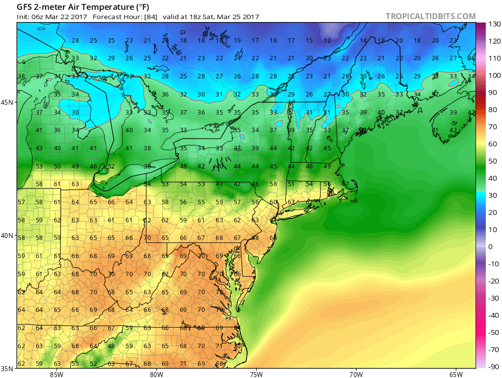
For the weekend period, we have a storm which will be impacting our weather from Friday all the way through late Monday. First impacts will be felt on Friday and Friday night with some showers, and temperatures becoming much warmer than they had been on the previous two days. Temperatures on Friday night will stay steady in the upper 30s to low 40s, and will only continue to rise in advance of a strong low pressure system in the Midwest, which will pump up heights ahead of it allowing for this warming. There looks to be a bit of a break in the precipitation during the day on Saturday, but It will remain mostly cloudy. Temperatures statewide look to jump well into the 50s and even the low 60s in some spots by Saturday afternoon. Showery conditions will return for Saturday night through Sunday, with temperatures only dropping back into the 30s. There could be some frozen precip mixed in early on Sunday but will quickly change back to rain.
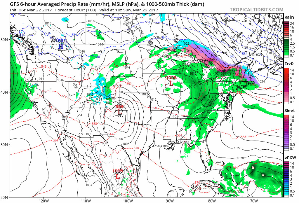
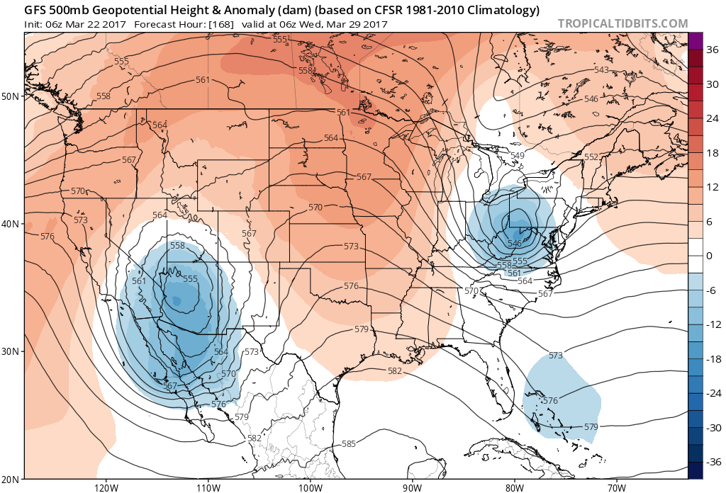
During the day on Sunday, rain could persist, but looks to change back to wintry precipitation from south to north on Sunday afternoon through early Monday morning. At this time, it does not look like a major snow maker for the area, but we are keeping an eye on it. Lingering wintry precip/snow look to continue through Monday. In fact, rain and snow look to continue through Tuesday as well, as this low pressure system is in no hurry to move away from the area. Don’t look now, but there could be gradual clearing later on Tuesday, but the pattern looks to be setting up a storm train of sorts. Another slow moving low pressure system looks to impact the area for later next week, and it’s déjà vu all over again. This time it looks to be more wet than white, but this is a week or more out and will continue to be a fluid situation, but in the general scheme of things, it looks like we are setting up a storm train of sorts, and sunny, spring like weather looks to again be on hold. Temperatures in this time period look to be generally in the mid-40s, with another shot at noteworthy cold air coming late next week, with temps again dropping back into the 30s for highs.
Extended Forecast:
Wednesday: Mostly clear and cold, chance of stray flurry or snow shower. Gusty winds, up to 50 mph. Temperatures dropping through the 30s throughout the day.
Wednesday night: Clear and cold, winds slacking off, temps dropping into the teens and single digits
Thursday: Clear, very cold early, high temperatures low to mid 30s.
Thursday night: Clear early, clouds moving in late, low temperatures low to mid 20s
Friday and Friday night: Chilly early, temps gradually rising throughout the day, rain with a chance of a period of wintry precip inland for the early afternoon. Highs 35-40. Showers persisting through the evening with temperatures gradually rising through the 40s.
Saturday and Saturday night: Chance of stray shower, otherwise cloudy, highs 55-60. Rain moving back in for the evening and temps dropping back through the 30s, wintry precip could move in late.
Sunday and Sunday night: Mixed precip early, changing back to rain, highs low to mid 40s. Rain and snow afternoon 4, lows in the low to mid 30s.
Have a great rest of your day everyone! As always, thank you for making SCW your home for all things Connecticut weather.- TW
